Unlock the Power of Aerial Intelligence
Our stratospheric platform delivers high-resolution imagery and sensing data with persistence and flexibility that satellites and aircraft cannot match.
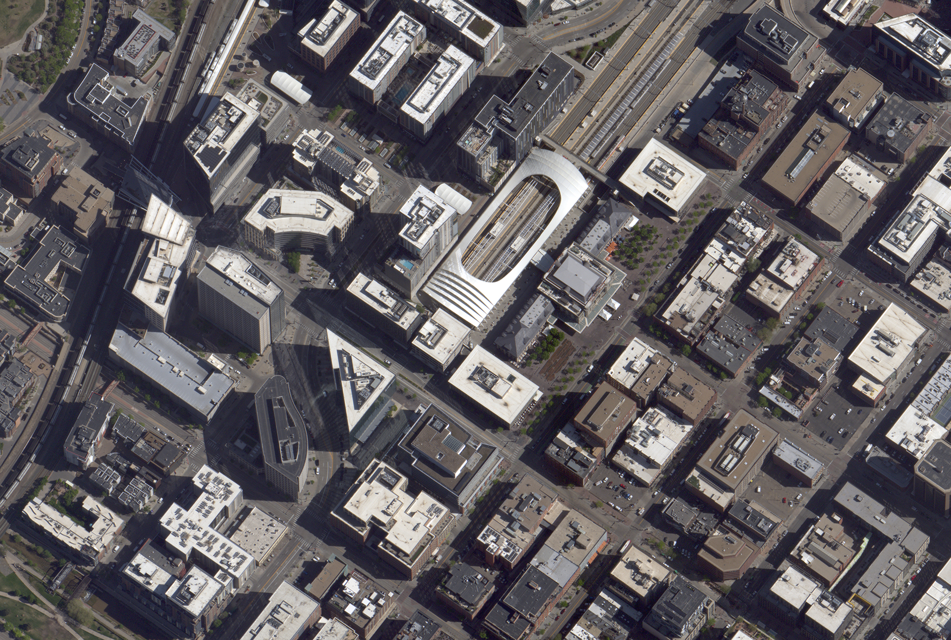
10cm Resolution Imagery
See individual vehicles, infrastructure details, and ground features with unprecedented clarity. Our stratospheric vantage point delivers satellite-like coverage with aircraft-level resolution.
Sample: Downtown Denver, Union Station area
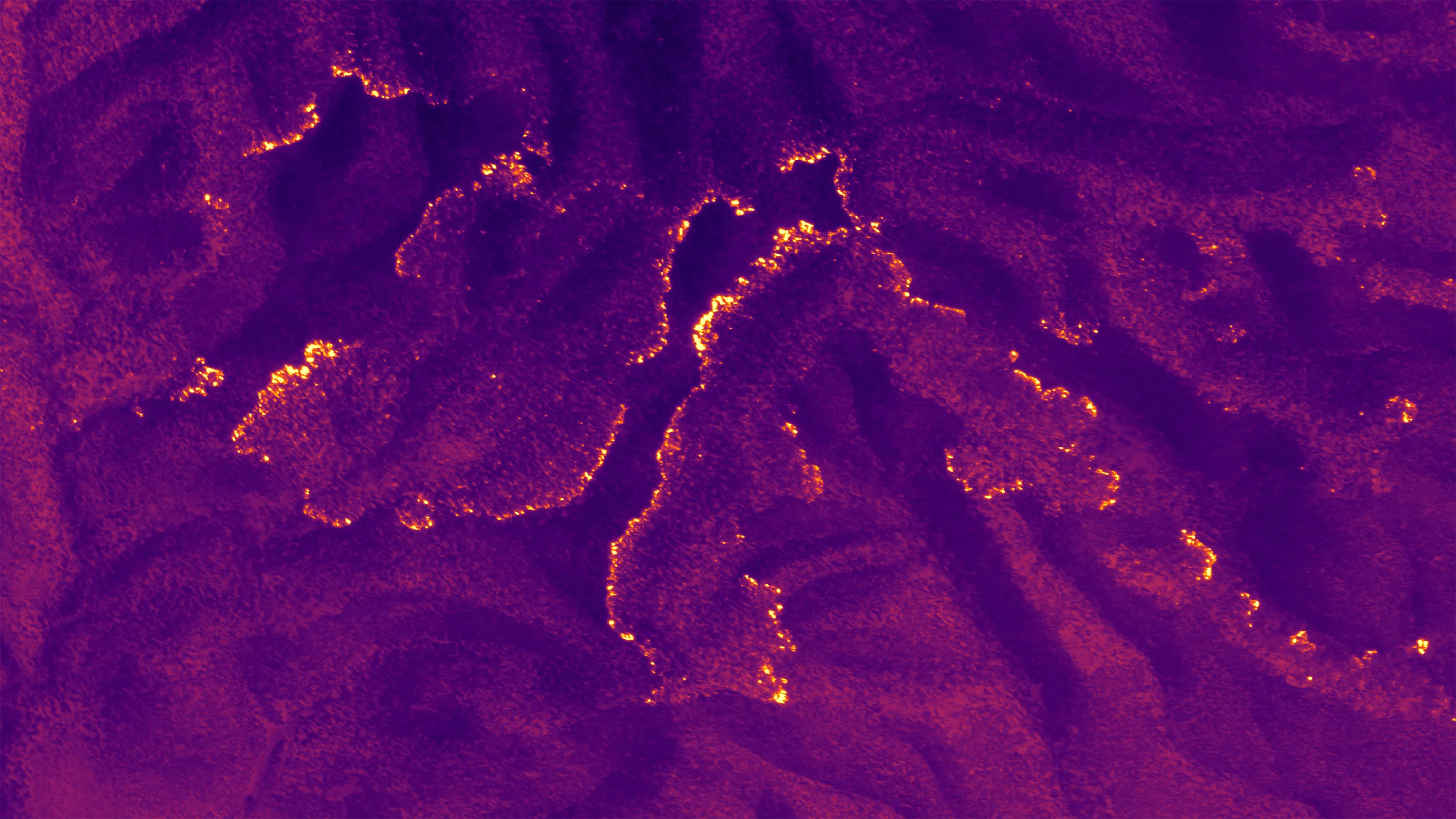
LWIR Thermal Imaging
Long-wave infrared imaging enables detection of heat signatures day or night. Identify thermal anomalies, track activity patterns, and see through obscurants that defeat visible spectrum sensors.
Sample: Thermal terrain mapping showing temperature variations
See Our Data in Action
Request trial access to explore our data products and capabilities.
Request Trial Access